
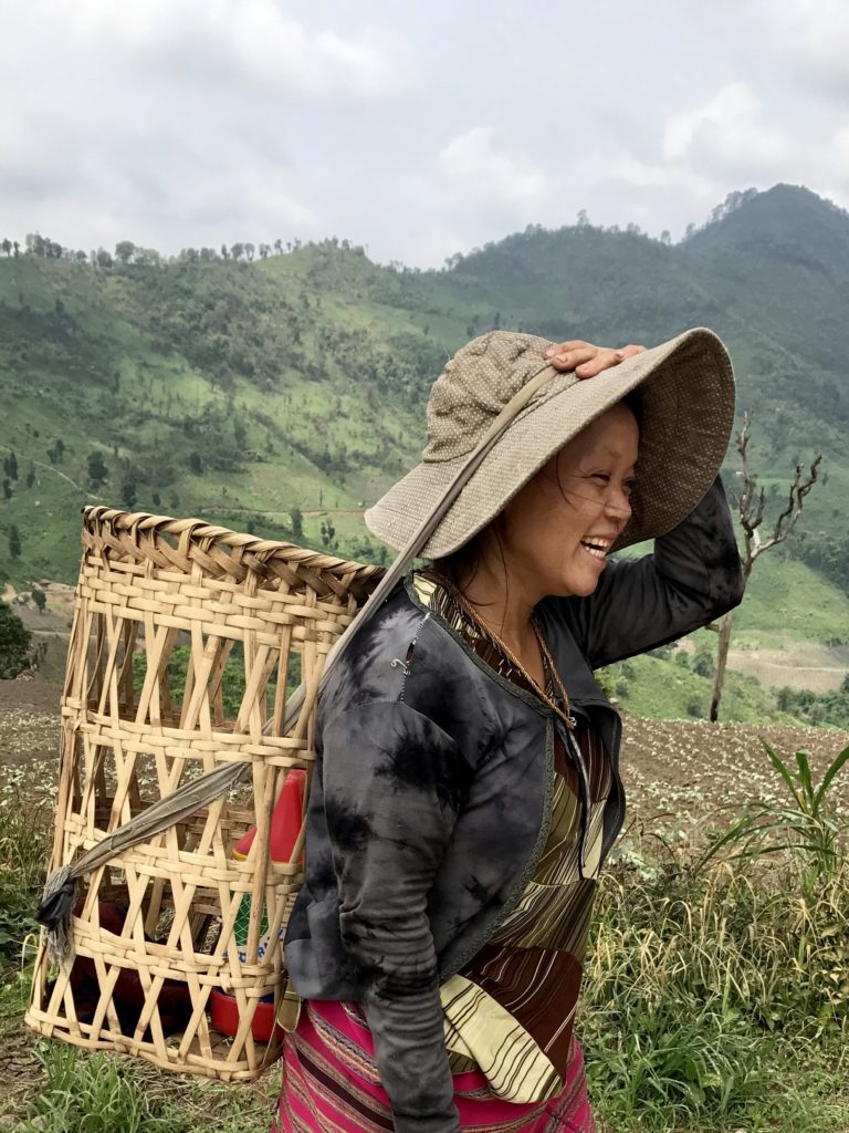
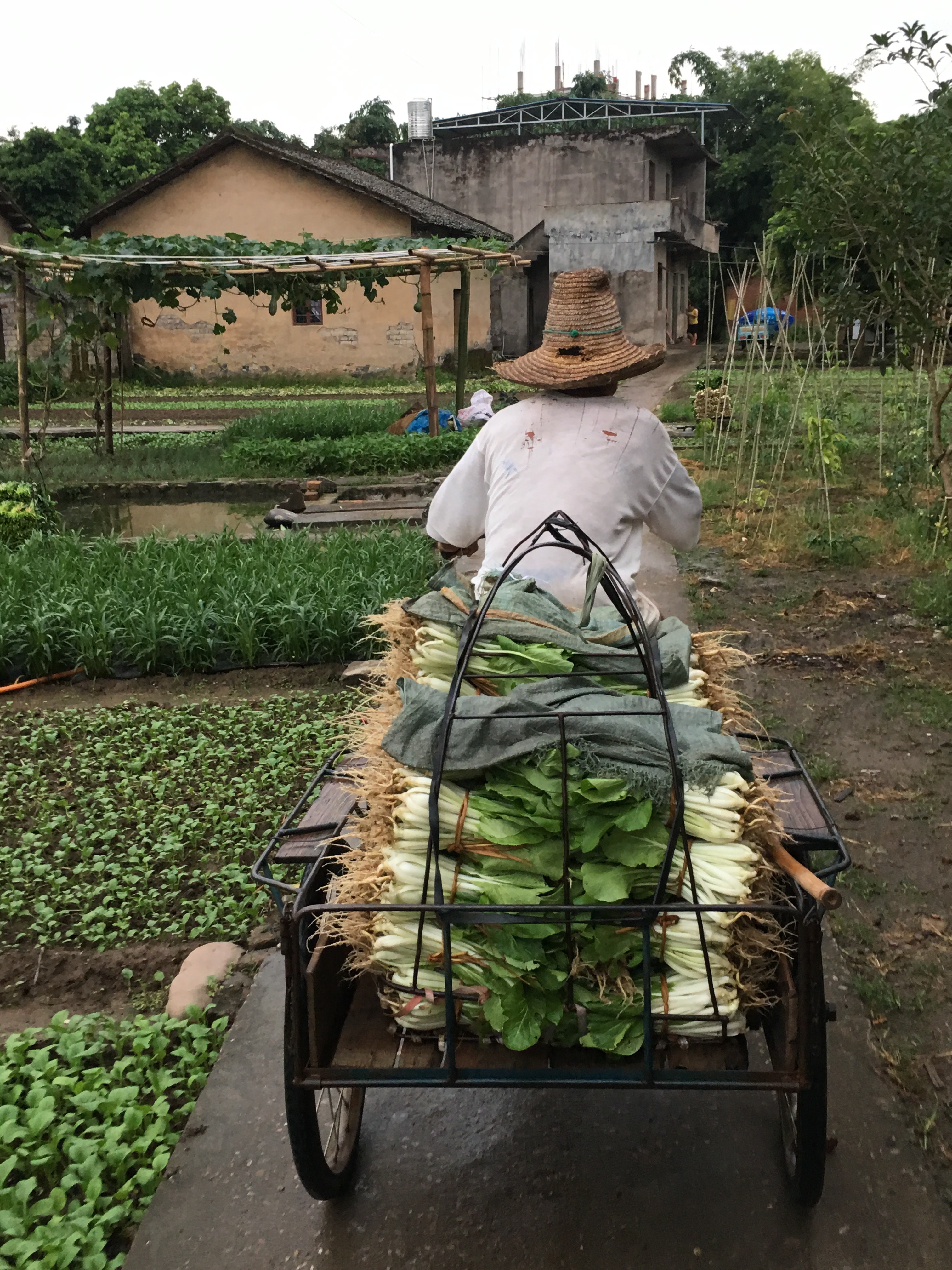
Karen Tribe Rice Farmer
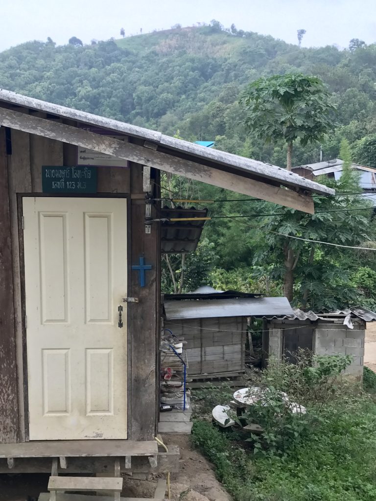
Though Thailand is smaller in area than the state of Texas, it is home to 70+ distinct ethnic minorities. The Karen group is the largest minority at 400k+ people distributed across almost 2k villages (2003 census).
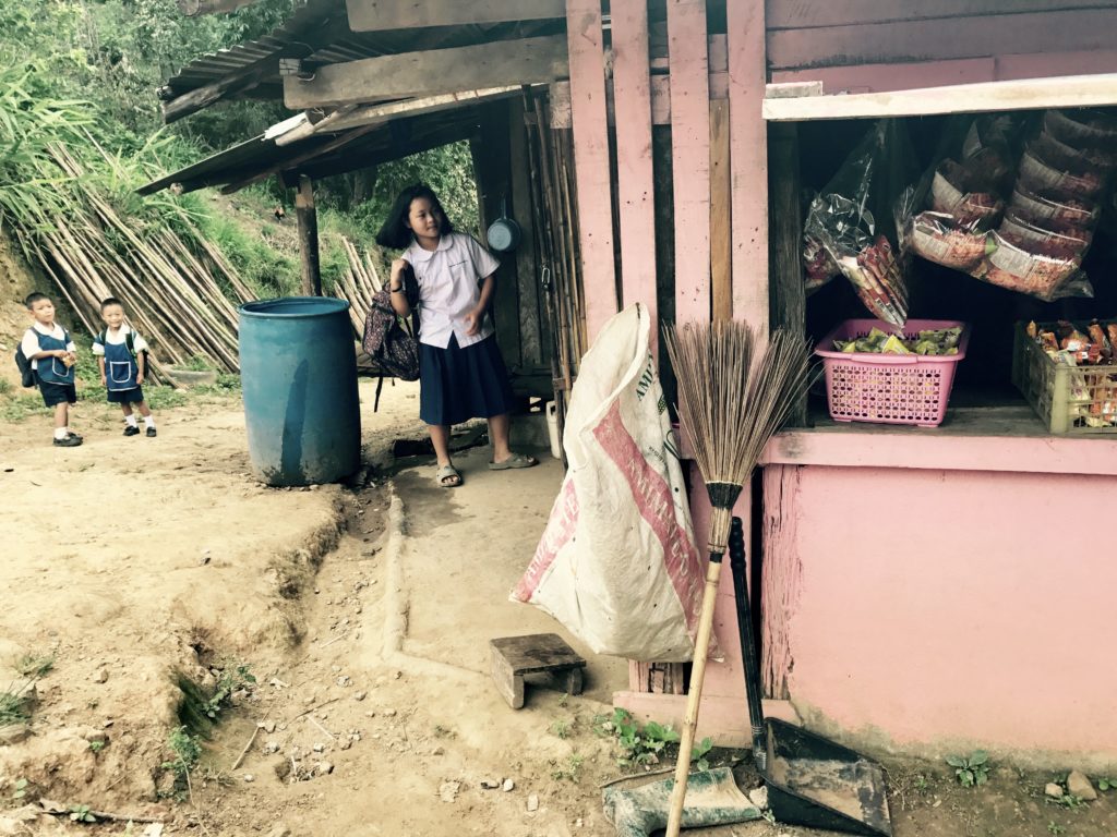
The village women wore colorful horizontally striped woven sarong leg wraps. Today, less than 10% of minorities in Thailand wear their traditional dress (Perve, “The Hill Tribes Living in Thailand,” 2011). Some villages still use looms to weave cloth, but sewing machines are becoming popular.
The Karen are matrilineal and matriarchal. Women are the head of the clan, pass on the family line, and control the house’s finances.
“Who cooks?” I asked the head woman at our homestay.
“Whoever is less tired,” our guide translated as he and some men chopped our potatoes for dinner.
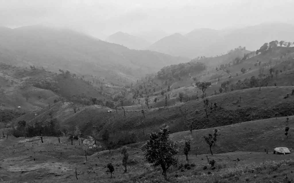
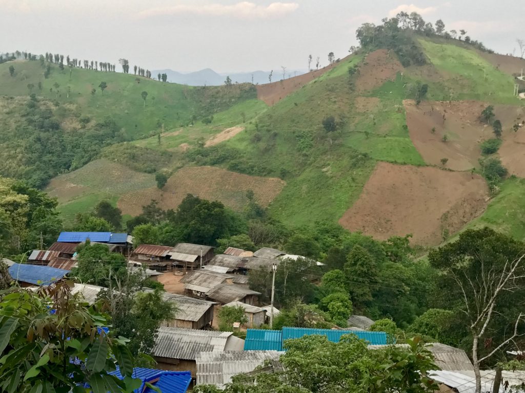
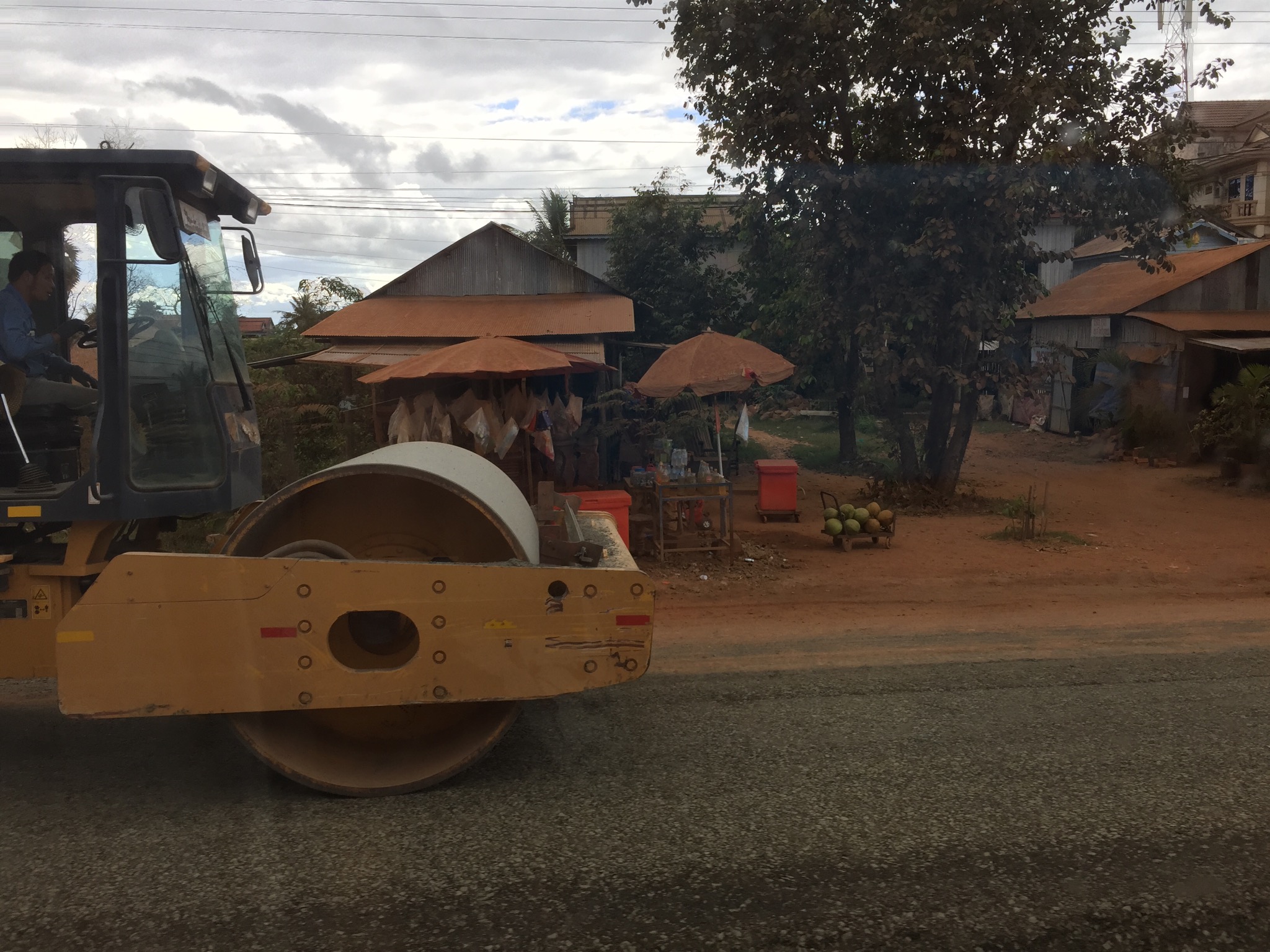
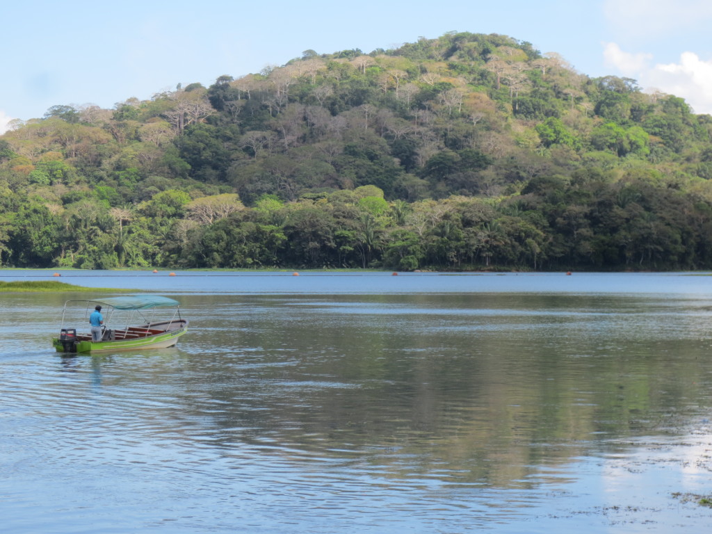
A Fortunate Man, Thailand Landscape
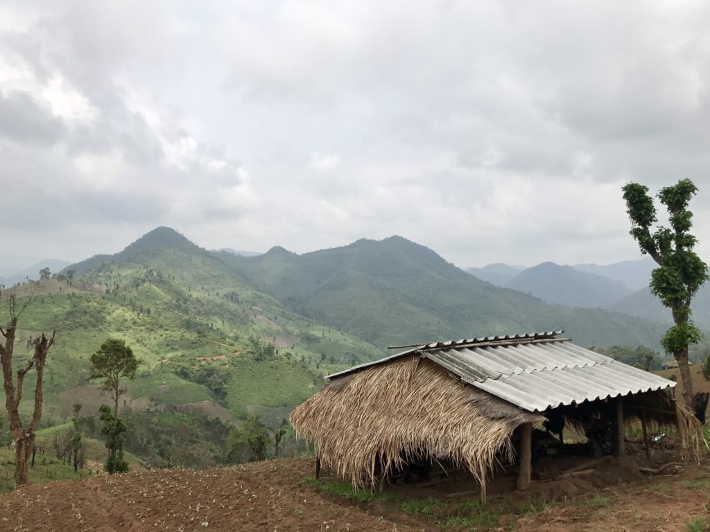
The awe-inspiring sight of rice hill farms at dawn reminded me of a quote from A Fortunate Man, the story of a countryside doctor in England who sociologically observes the lives of the rural patients he treats.
“Landscapes can be deceptive. Sometimes a landscape seems to be less a setting for the life of its inhabitants than a curtain behind which their struggles, achievements and accidents takes place. For those who are behind the curtain, landmarks are no longer only geographic but also biographical and personal” — John Berger, A Fortunate Man
I squinted out at the landscape and imagined how the Karen rice farmers related to the land, how they had memories embedded in its contours, and I wondered what it meant to them.
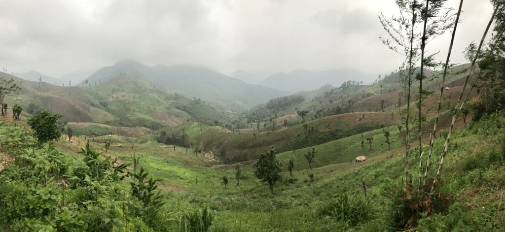
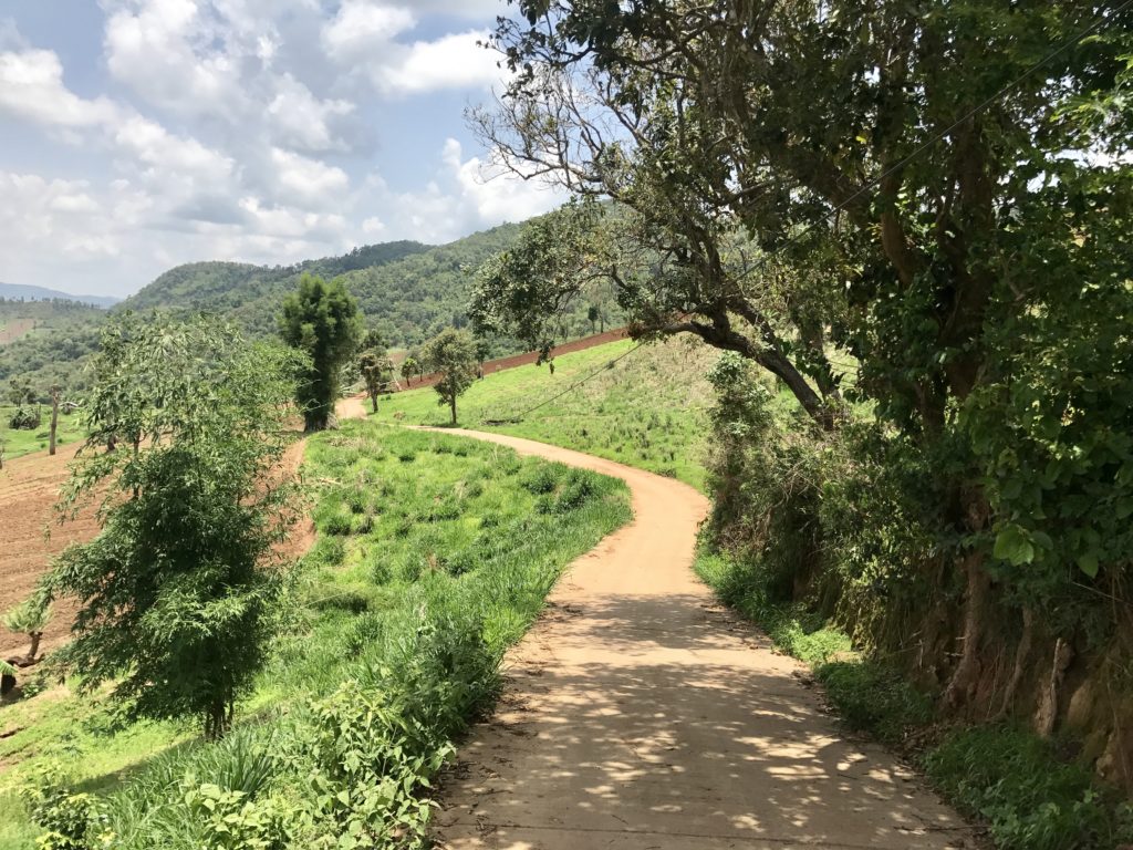
Thailand Hills Mid-Morning
The pure dawn’s light soon dissolved from grey shades into a lush color spectrum. A shroud of mist lingered on the hills.
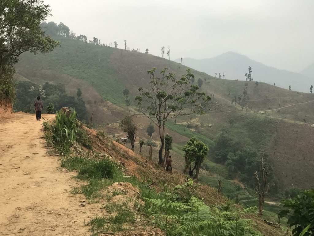
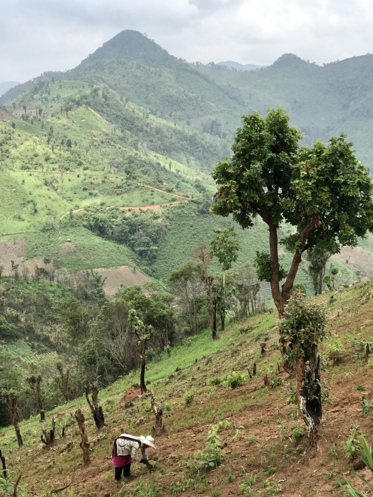
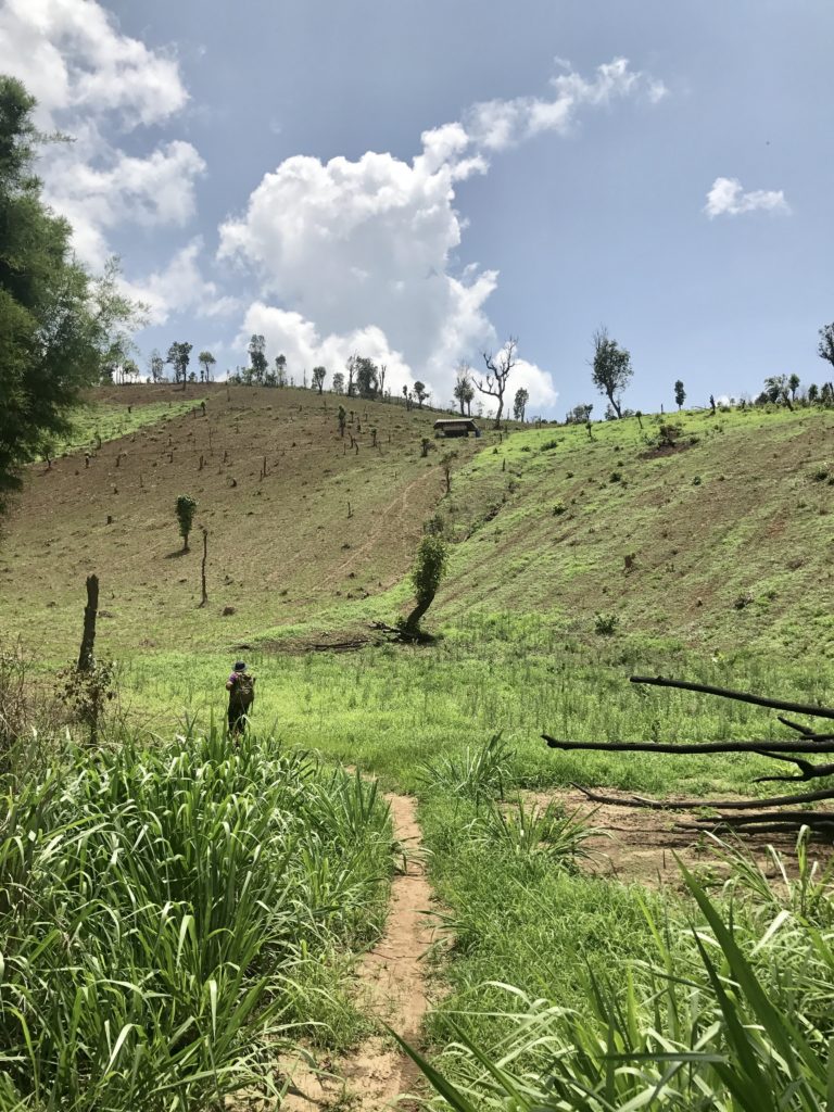
Rice Farmer Heading to Work
While watching farmers as they descended into the rice fields, I daydreamed I was witnessing Sebastião Salgado’s photojournalist exhibition Workers: An Archaeology of the Industrial Age. Watch Salgado’s The Salt of the Earth documentary to understand his transition from documenting people to grandiose landscapes.
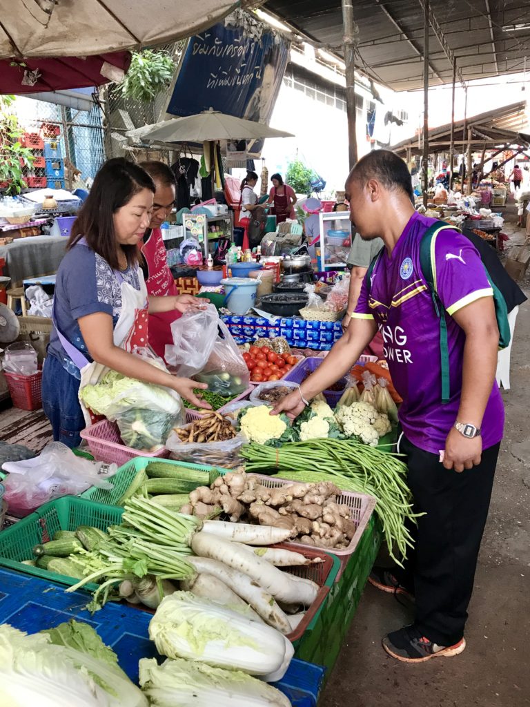
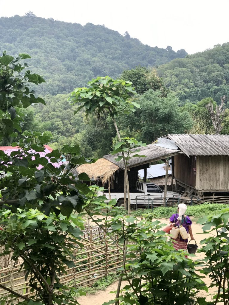
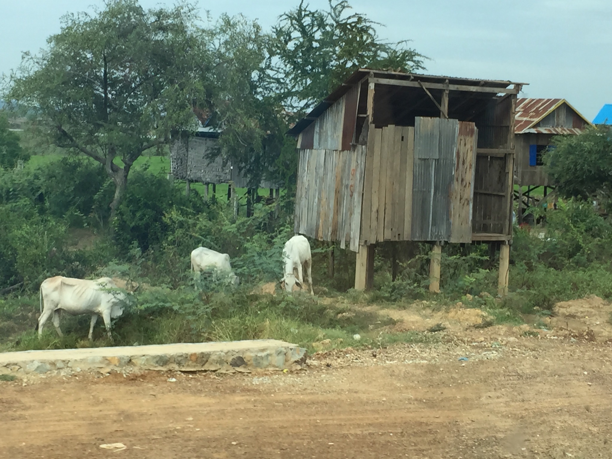
Some farmers carried plastic jugs of a natural pesticide made from local plants. The Karen mainly farm mountain rice. Other vegetables such as carrots, potatoes, and cauliflower add to their diet with the surplus sold off, allowing the village to participate in the cash economy.
Neighboring tribes used to plant Opium poppies in these hills until the Thai government banned the plant in 1959 and followed up with The Royal Project, a program that promoted growth of alternative vegetable and fruit crops. These government initiatives were successful — opium is no longer grown in the country.
Rice Farmer with Hoe
The farmers used rudimentary handheld tools to work the land.
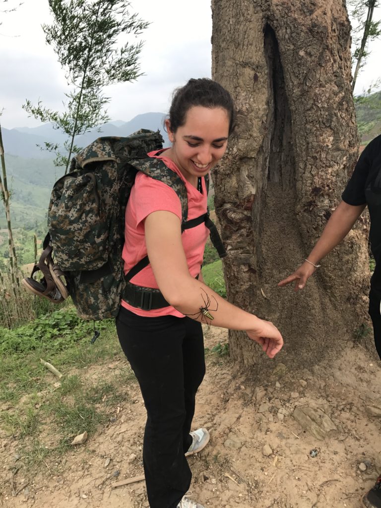
Giant Golden Orb Weaver Spider — R Ninan
Near a rice farm overlook we found a giant golden orb weaver (Nephila pilipes), one of the largest spider species in the world. The guide picked it up and said it didn’t bite, so I asked to hold it. There’s a fascinating theory that female gigantism may have evolved in giant golden orb weavers to reduce the effectiveness of mating plugs (males insert the plugs into females in an attempt to prevent offspring from other males).
A fellow French traveler on the trek had informed our guide that he was frightfully afraid of spiders. At one trailhead, our guide motioned for the Frenchman to go first.
He was surprised. “Why me first?”
The guide stoically replied, “I’m scared. Many spiders on this trail. You big tall white man. You go first.” Our guide often lacked information to our curious questions but overcompensated with an unexpectedly amusing sense of humor.
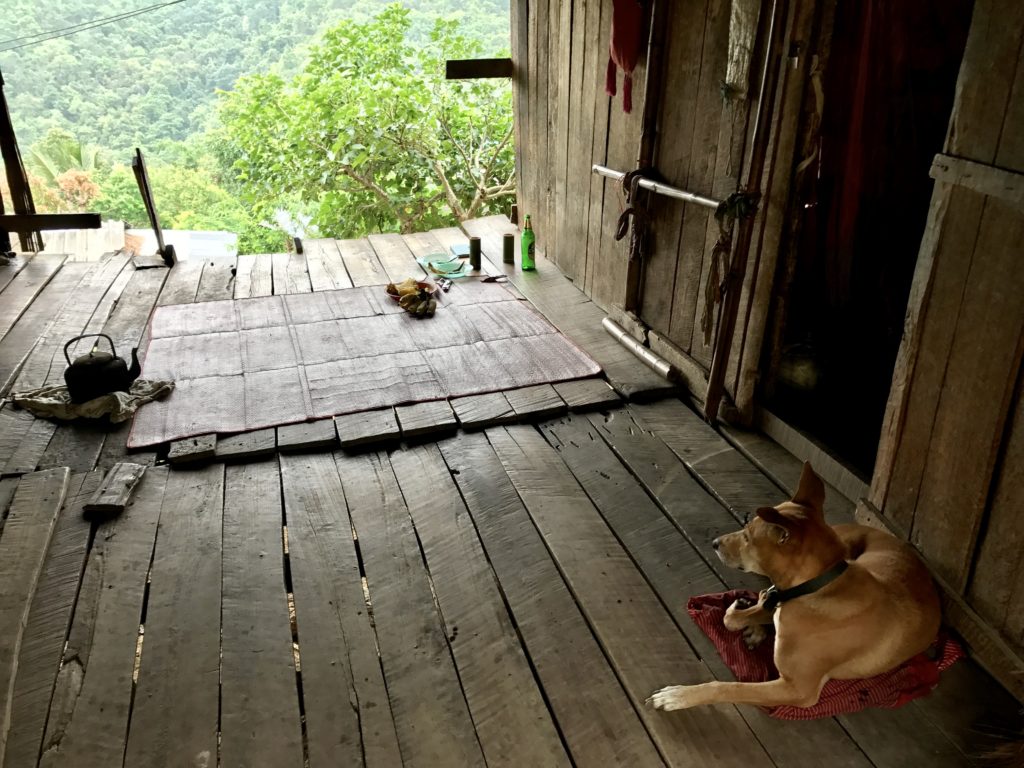
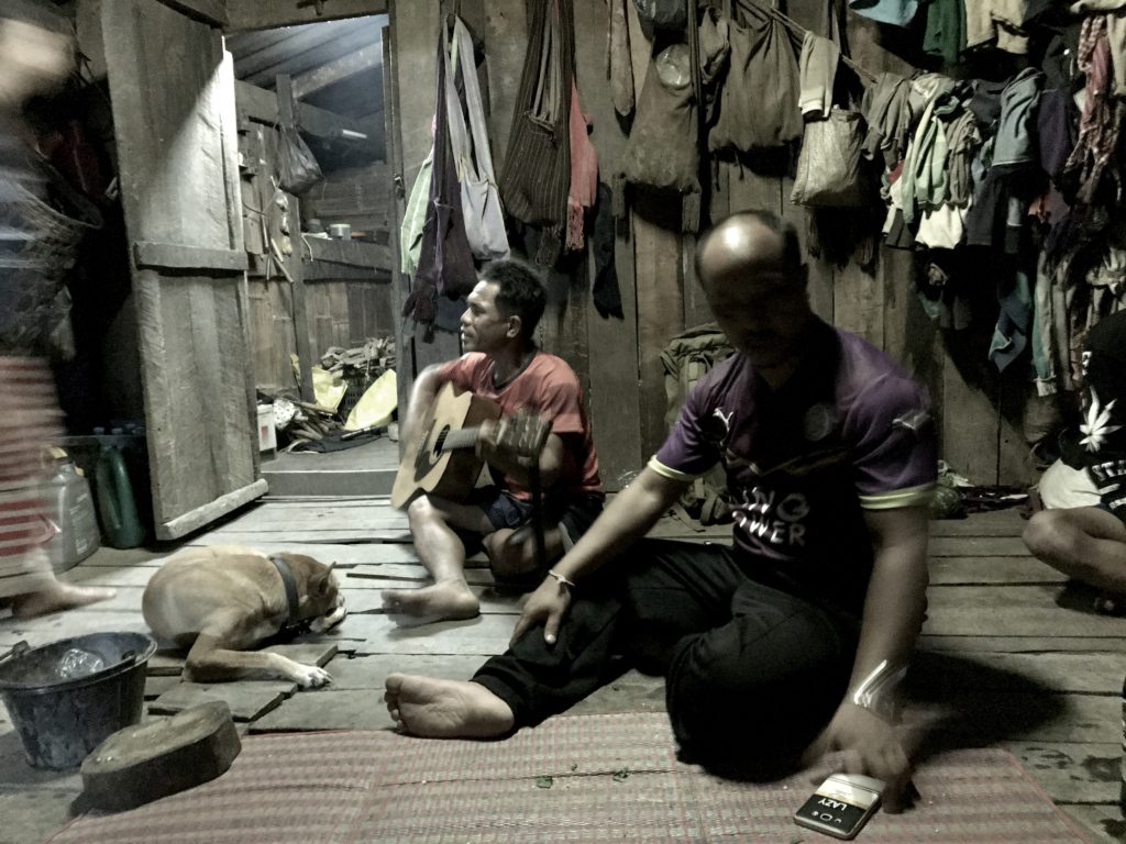
Breakfast with Dang
The Pooh trek company’s dog, “Dang,” accompanied us during the homestay. He knew all the trails and always showed me the way back on walks. At the end of the trek, when we were to rendezvous with a pickup truck, Dang ran ahead on the trail, returned, and picked up a leaf in his mouth to signal to us that the car was there.
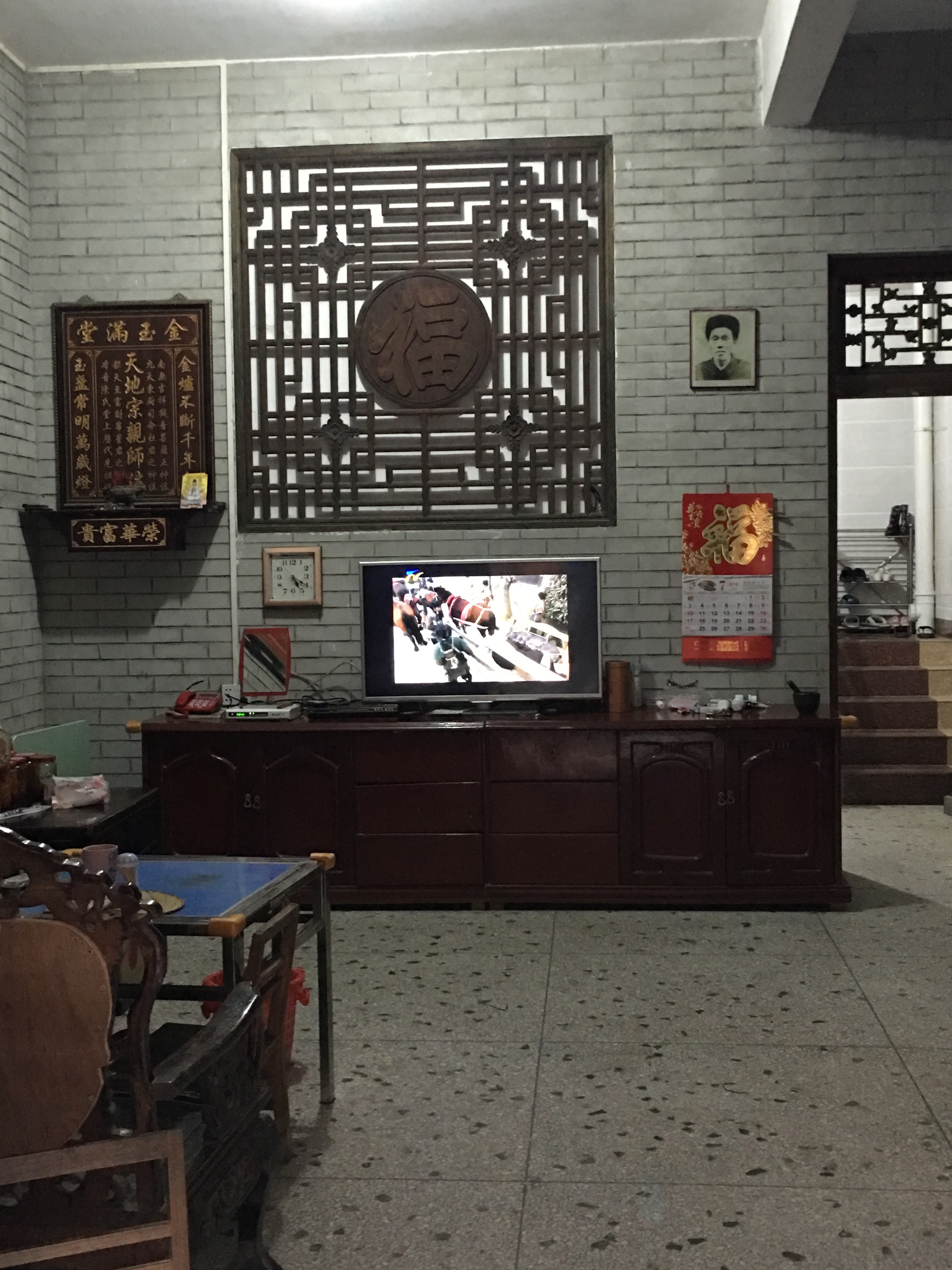
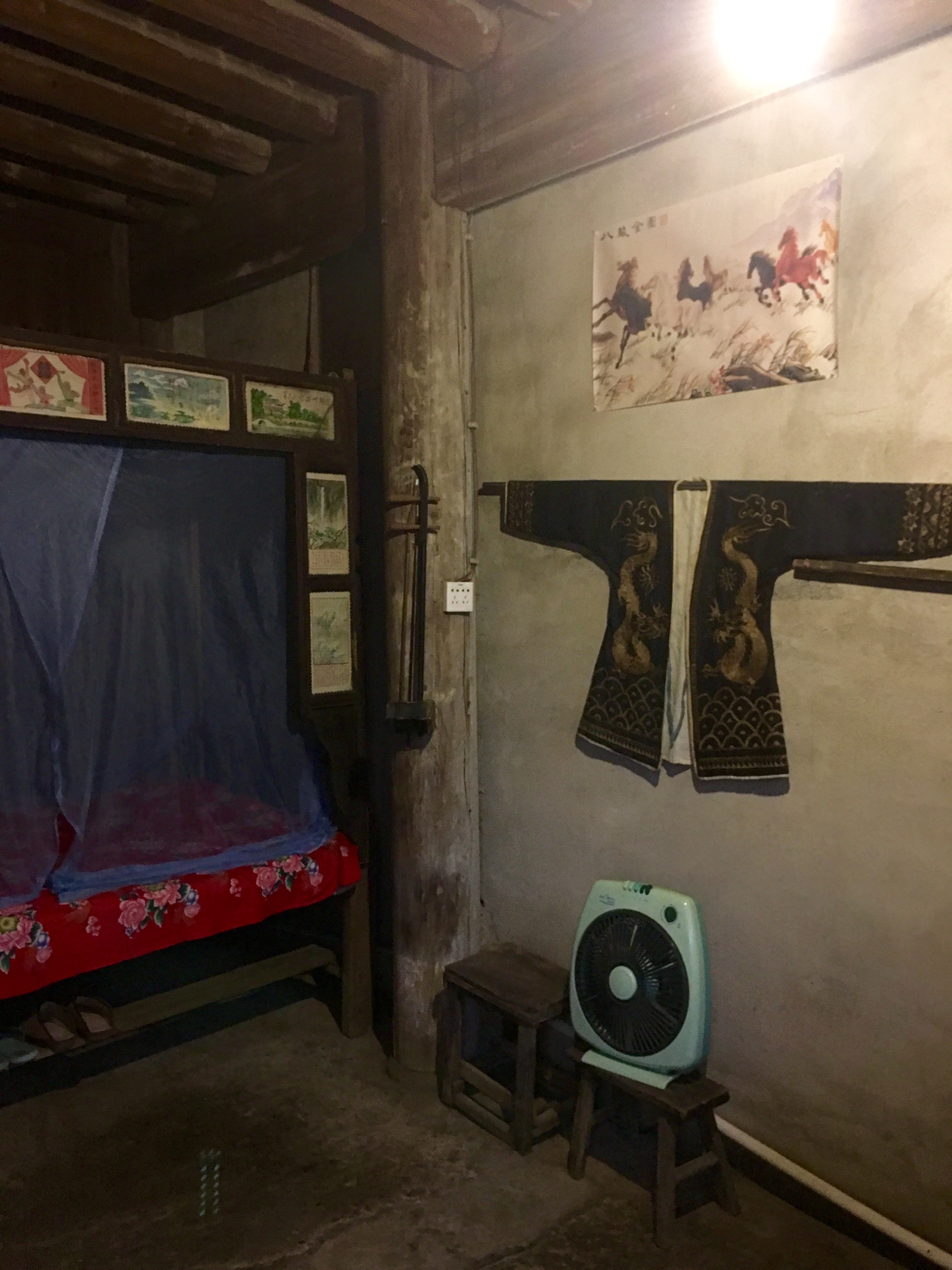
Note the beautiful teak floorboards. Thailand was once the home of teak merchants, with the British never formally colonizing the area but still controlling a substantial portion of the trade.
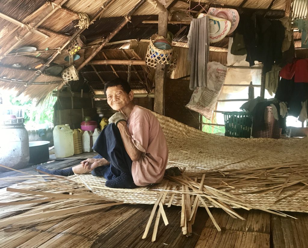
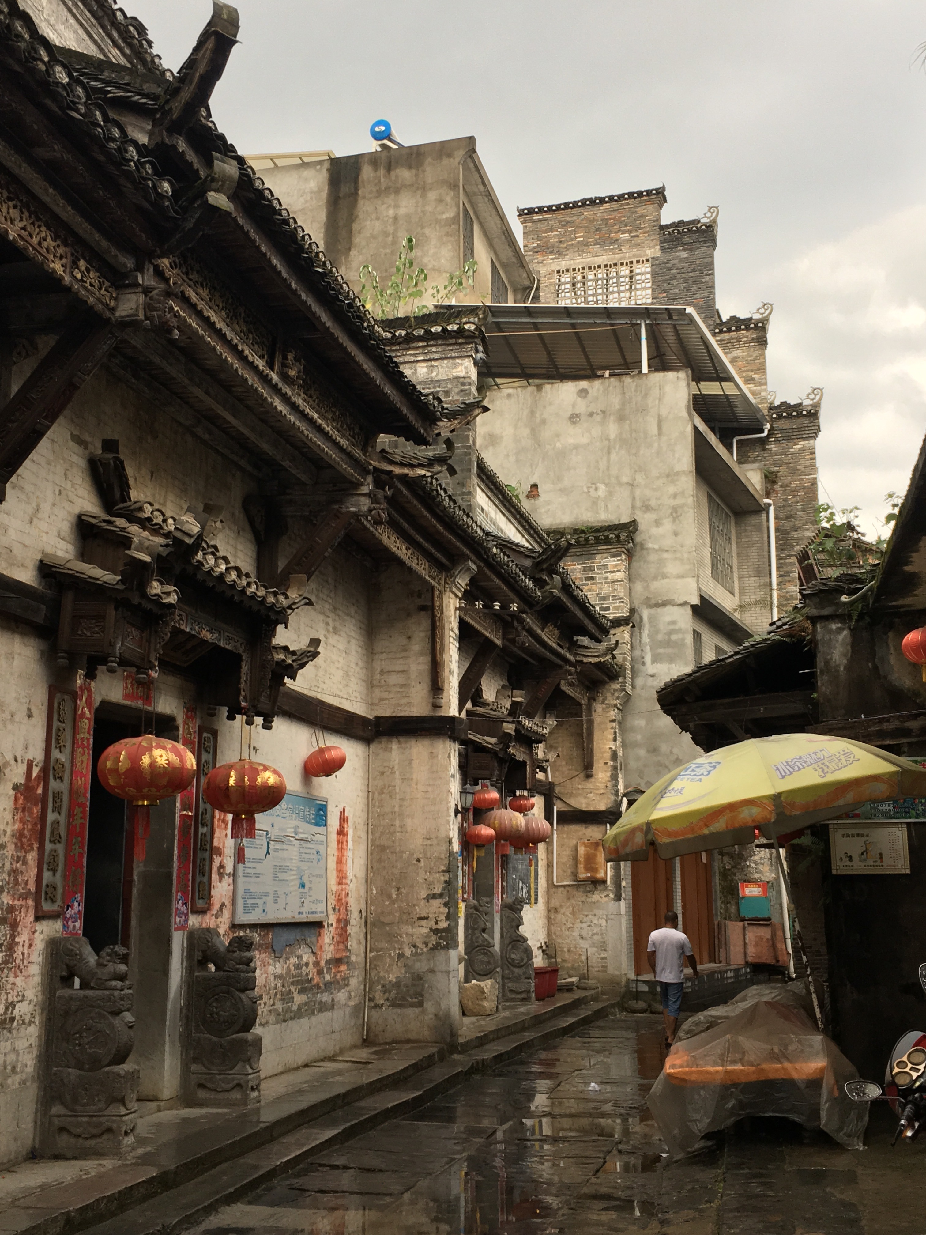
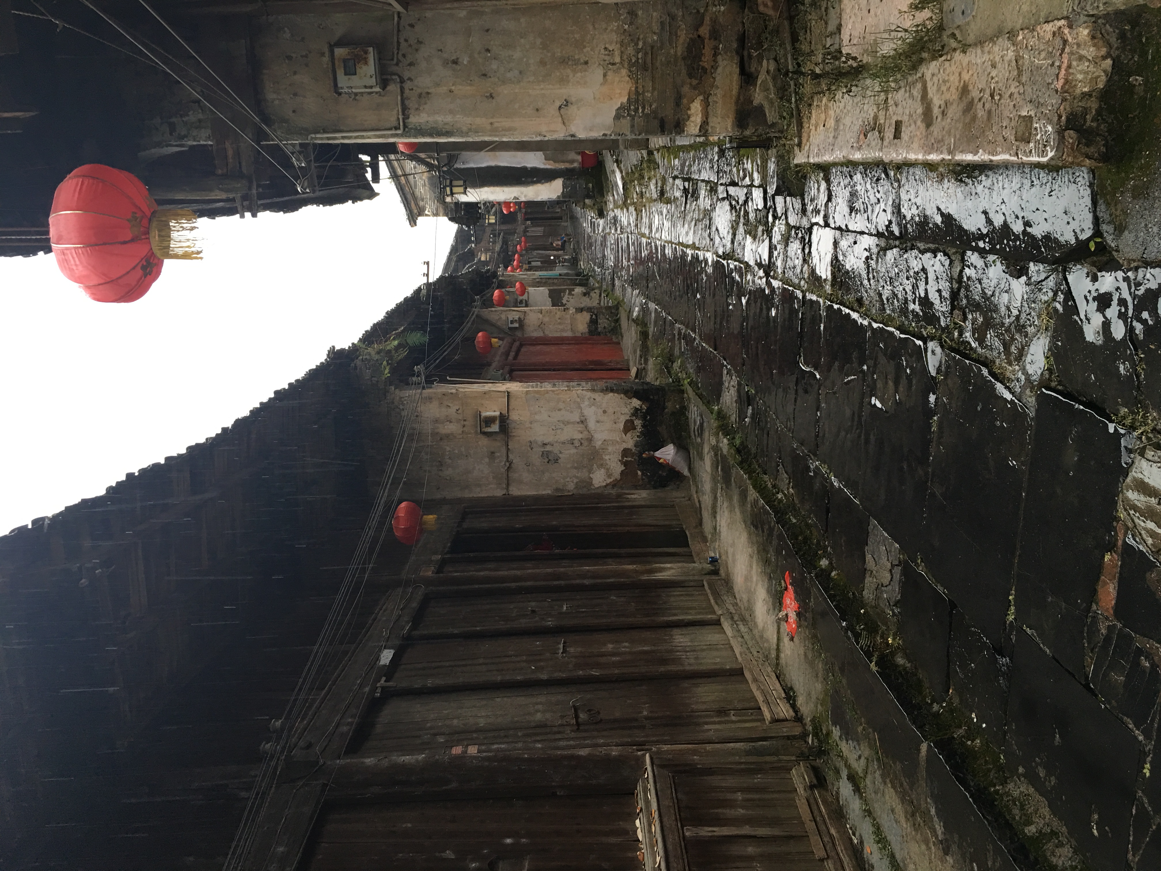
Old Man Weaving Bamboo
We passed a village where an old man in his 60’s with a seemingly perpetual smile weaved a bamboo mat. Note the walls and flooring made of split bamboo.
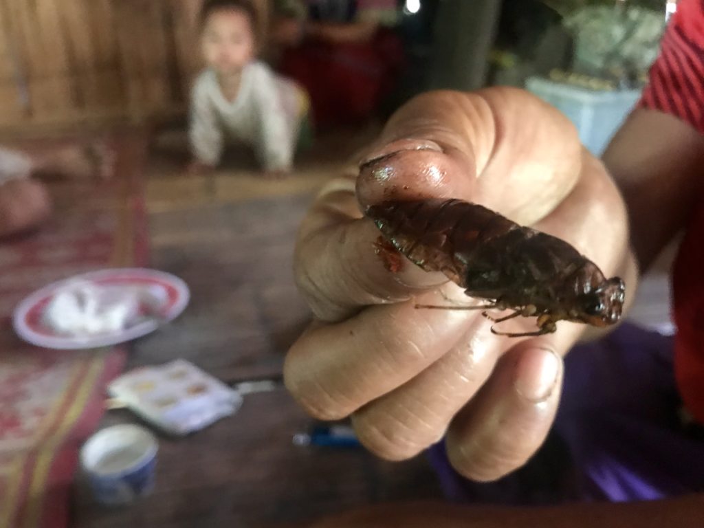
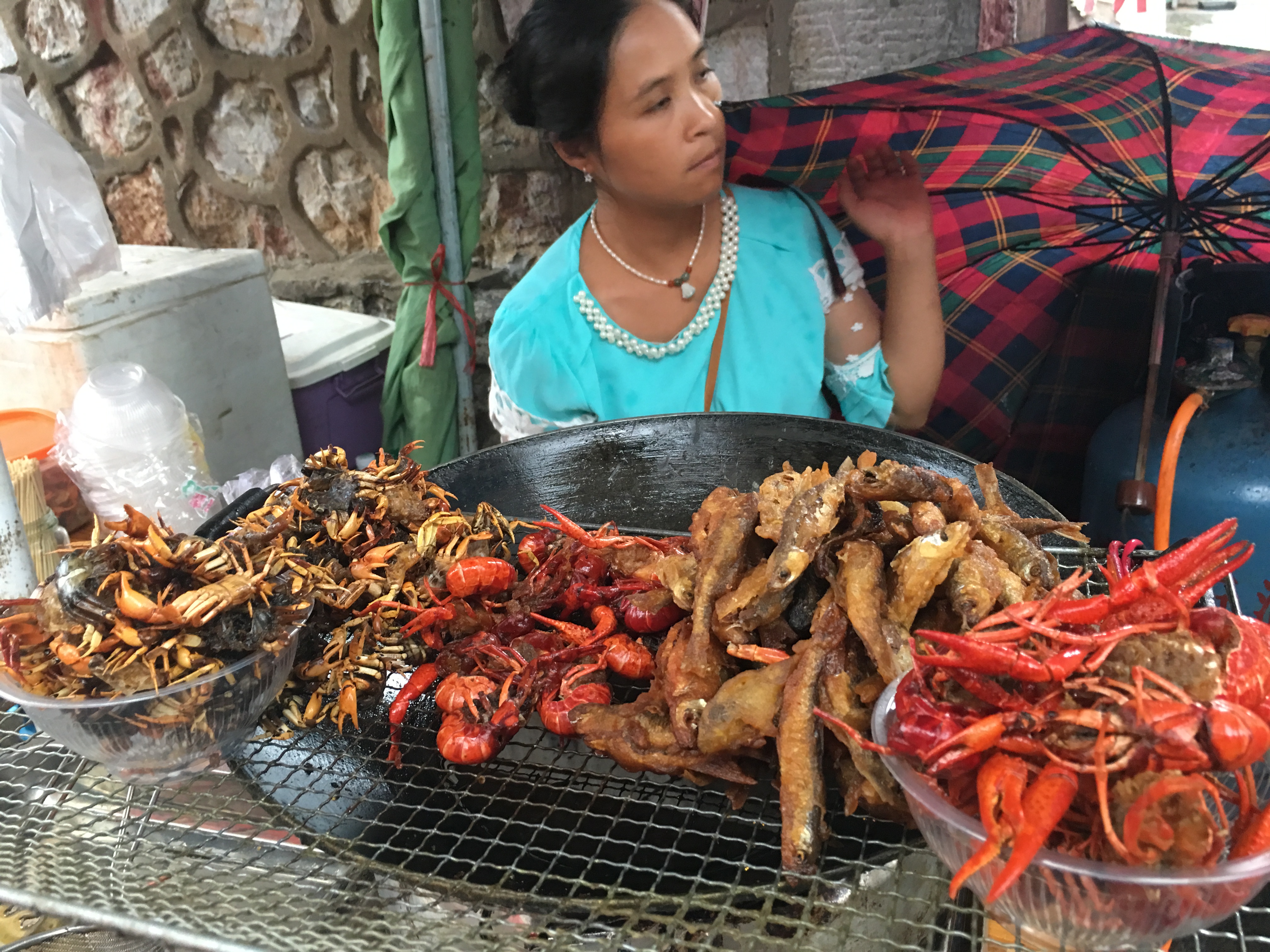
Roasted Cicada Snack
The piercing sound of cicadas pursued us on our hikes. Sometimes the chorus crescendoed and faded together in unison, at other times their dynamics evened out into an ever-present chatter, lulling us as we hiked.
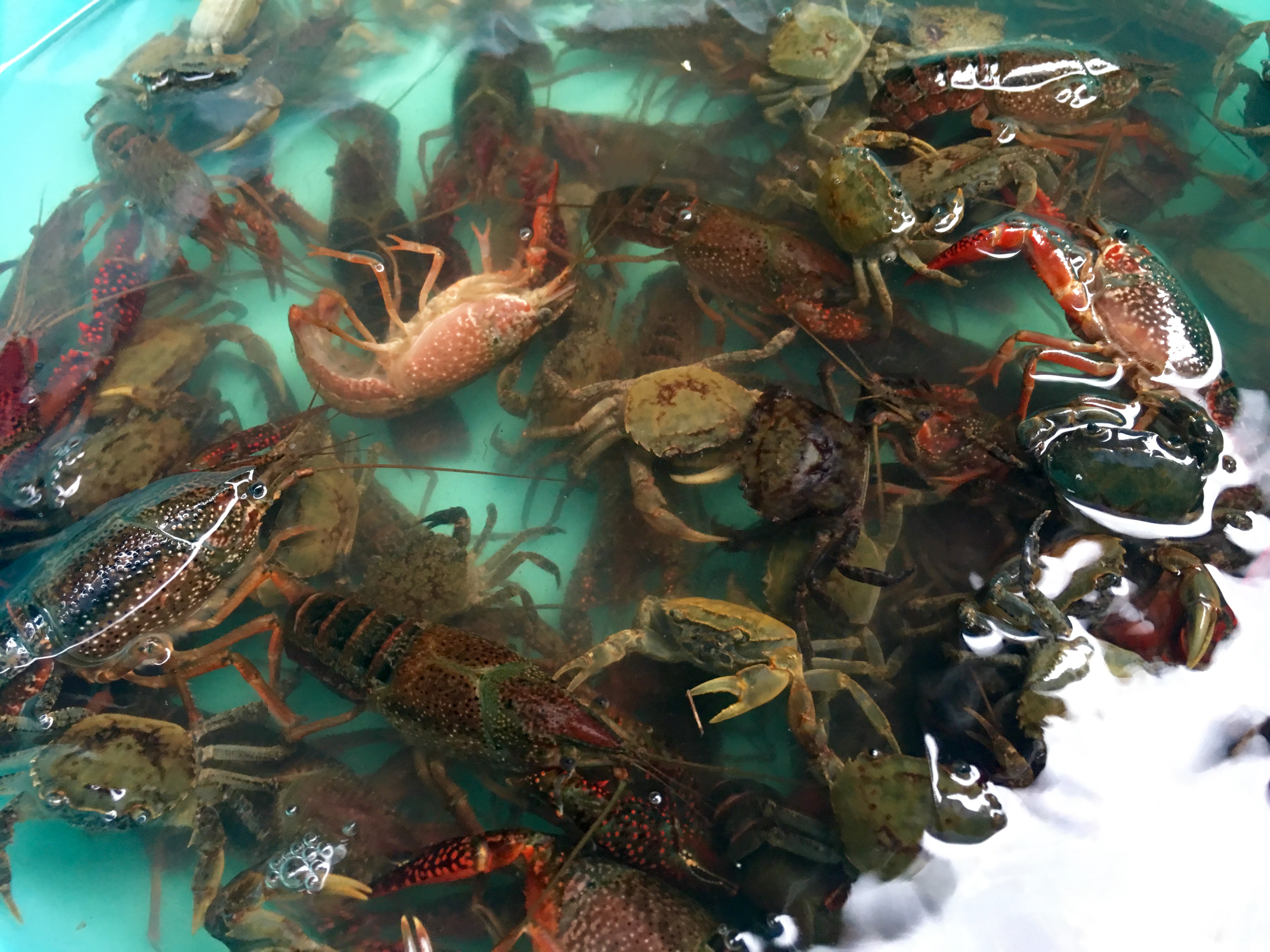
I came to identify another distinct buzzing sound, that of a cicada trapped in a villager’s hand, wings scraping frenetically agains the palm and fingers, attempting to escape. The villages we visited roasted cicadas with chili, garlic, and chicken powder and then crunched away. One time I saw a local walking through the village smiling broadly, holding up her clenched palm toward a passing group of villagers, and sticking her tongue out to brag about her catch.
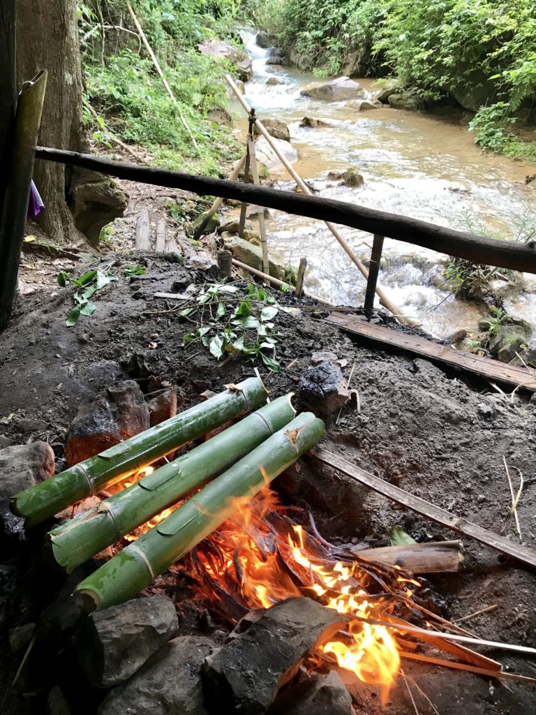
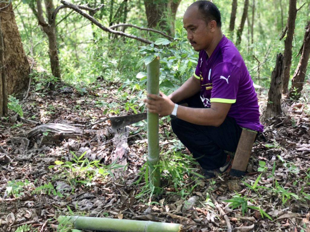
Cooking in Freshly Cut Bamboo Vessels
We reached a bamboo shelter in the woods by a stream where we cooked our rice and vegetables in hollow fresh bamboo tubes about 10cm in diameter with lids cut out for pouring ingredients. Our guide filled the bamboo with water from a natural spring nearby. Old dried-out bamboo was used as kindling.
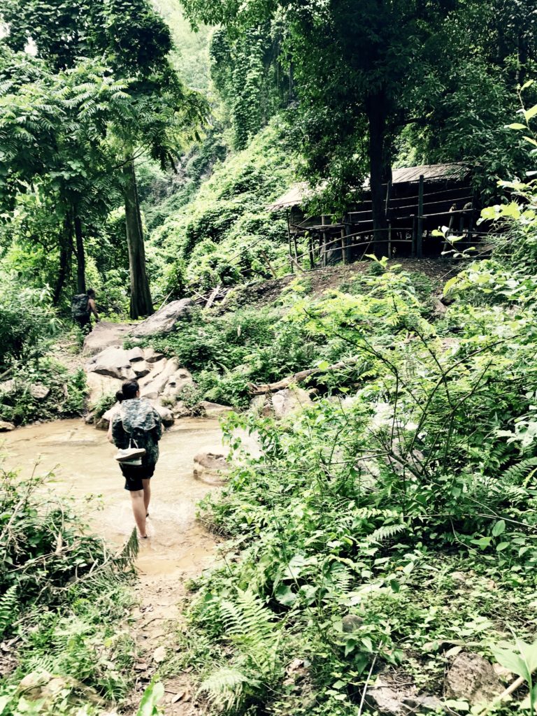
River Hiking — R Ninan
We finished our trek with a beautiful day of river crossings and wading upstream. Throughout the entire trek, we did not see another traveler, only local villagers and empty peaceful mountain trails.


")
")